


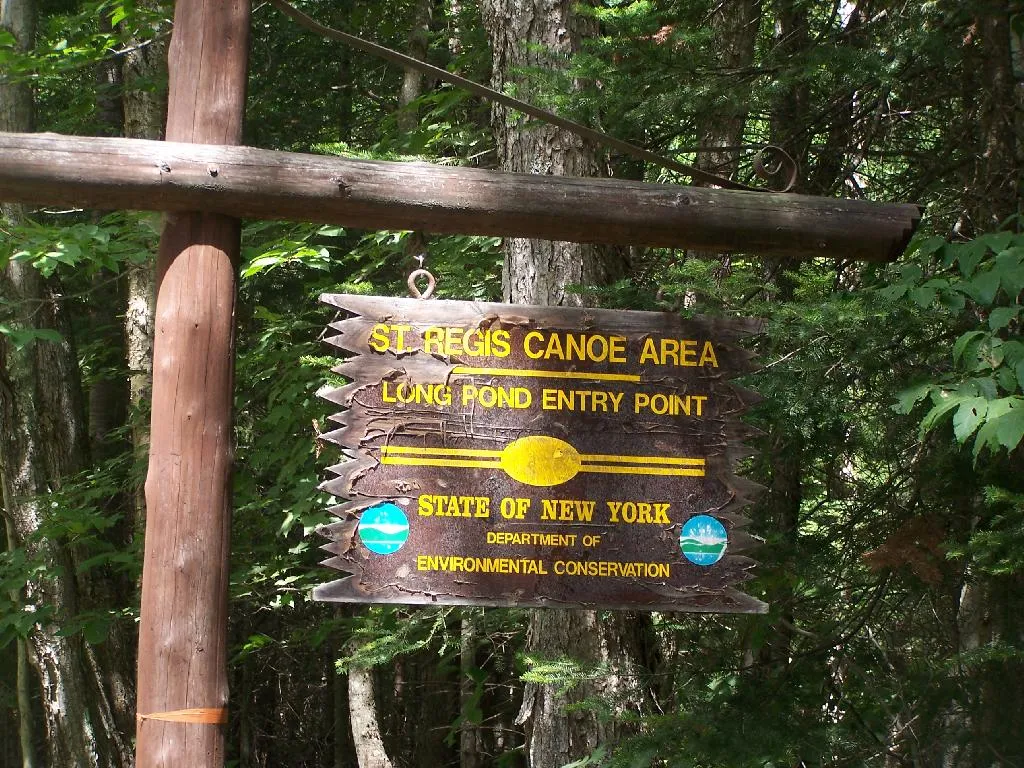
Saint Regis Canoe Area
Canoe route · Adirondacks · NY
Protected area: 18,400 acres · May – Oct
$56 kayak, 1 day
12 bETA bike networks · Free access
Trails open as they dry in spring; Hardy Road is usually rideable first. Early October brings peak foliage and the World Cup.
BETA trails are free to ride; donations and map sales pay for the work
Adirondack singletrack and a World Cup weekend.
The Barkeater Trails Alliance builds and looks after a dozen networks around Wilmington, Lake Placid, Saranac Lake, Keene and Elizabethtown. The Flume network has the most mileage, smooth low down and increasingly technical on Marble Mountain, while Hardy Road’s 11 miles sit in Whiteface’s rain shadow and dry out first. Mt Van Hoevenberg, the Olympic venue, hosts World Cup cross-country racing, with downhill at Whiteface.
Loading the live forecast for Wilmington and Lake Placid trails…
Lake Placid shop and guide service with mountain, road and rail-trail bike rentals and Adirondack Rail Trail shuttles.
Lake Placid bike shop on Saranac Avenue for service and gear.
The nonprofit that builds and maintains the trails; check its conditions page and buy the paper map.
“Usually” means the date follows past years. Confirm before you go.
World Cup cross-country and short track at Mt Van Hoevenberg and downhill at Whiteface, plus a junior XC race for kids 8–18.
Riverside lodge on the Ausable with a restaurant and pub, right across the bridge from the Flume trailhead.
Casual, outdoorsy lodge near Whiteface, popular with cyclists.
Lake Placid’s classic resort on Mirror Lake, with a spa and pool.
Scenic toll road nearly to the summit of Whiteface, with a short walk to the top.
Long mountain coaster beside the Olympic bobsled track.
Exhibits on the 1932 and 1980 Winter Games, in the Olympic Center on Main Street.
No traveler reviews yet. Be the first.
G. Edward Johnson (CC BY 4.0) · G. Edward Johnson (CC BY 4.0) · G. Edward Johnson (CC BY 4.0).
Within about 40 miles: other things to do, places to camp and the winter side.
Canoe route · Adirondacks · NY
Protected area: 18,400 acres · May – Oct
$56 kayak, 1 day
State park · Adirondacks: Saranac Lakes · NY
Sites: 355, most on the water · May – Oct
$22 site/night
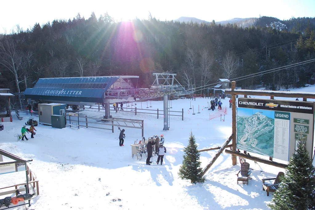
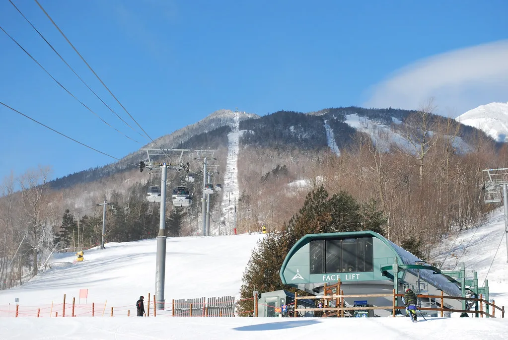
Adirondacks · NY
3,430 ft vertical · 94 trails · 190″ snow/yr
Lift from $134MC
Northern Adirondacks · NY
1,200 ft vertical · 53 trails · 150″ snow/yr
Lift from $79Indy