

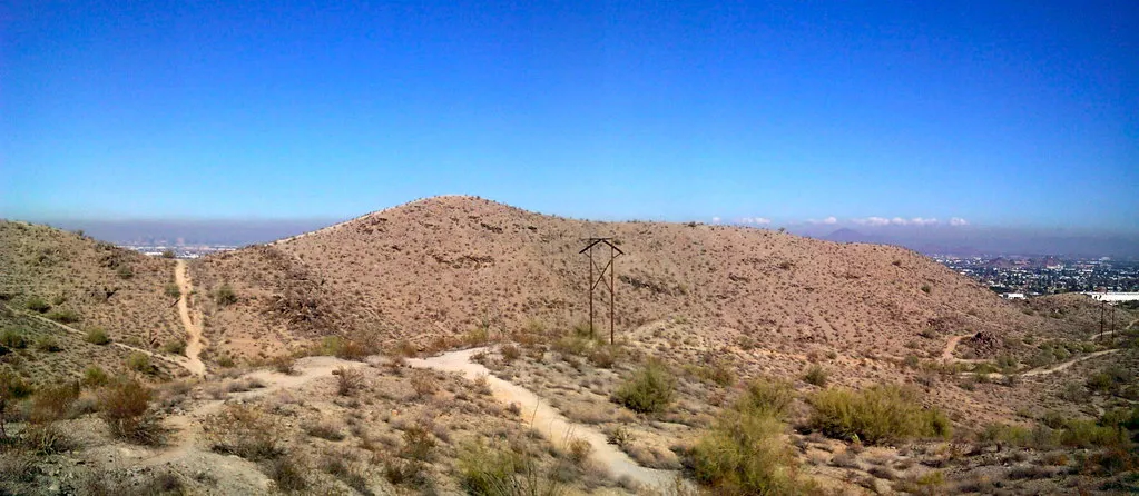
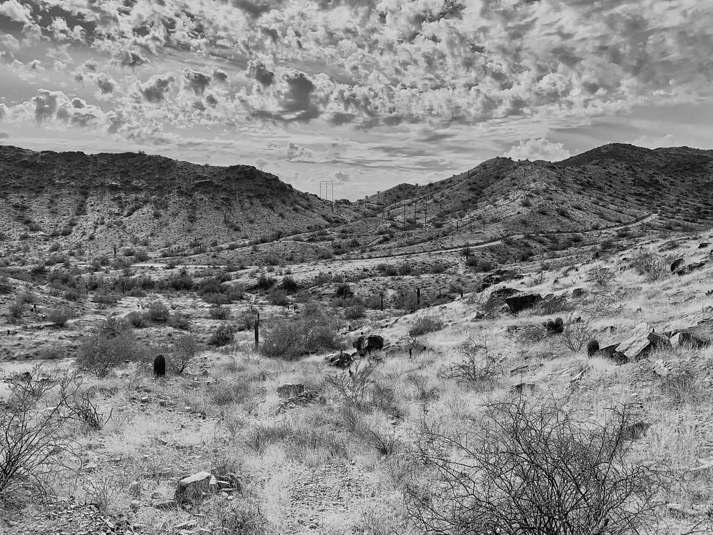
South Mountain Park and Preserve
Trail network · Phoenix · AZ
Size: 16,000+ acres · Oct – Apr
Free entry
30,500+ acres size
Open sunrise to sunset all year. Brown’s Ranch Trailhead is closed for improvements and is expected to reopen in late October 2026; use Tom’s Thumb or another trailhead until then.
Free; the city charges no entry fee.
230 miles of desert singletrack in north Scottsdale.
Scottsdale’s preserve covers more than 30,500 acres of Sonoran Desert with over 230 miles of shared-use trail, much of it fast, flowing singletrack around Brown’s Ranch in the north. Riders of most levels can find loops here, with rockier climbs toward Tom’s Thumb and the McDowell Mountains. Entry is free from sunrise to sunset.
Loading the live forecast for McDowell Sonoran Preserve…
Guided rides and bike rentals with trailhead delivery around Scottsdale.
Bike shop in Old Town Scottsdale.
Statewide club that runs race series and funds trail work.
“Usually” means the date follows past years. Confirm before you go.
Scottsdale’s month celebrating the preserve, with an exploration journal for kids at trailheads and a grand reopening of Brown’s Ranch Trailhead expected late in the month.
Wellness resort in Carefree with a big spa and fitness program.
Desert resort set among giant granite boulders in Carefree.
Restored mid-century hotel and spa in Old Town Scottsdale.
No traveler reviews yet. Be the first.
Ray Redstone (CC BY-SA 4.0) · Wiwad (CC BY 4.0).
Within about 40 miles: other things to do, places to camp and the winter side.
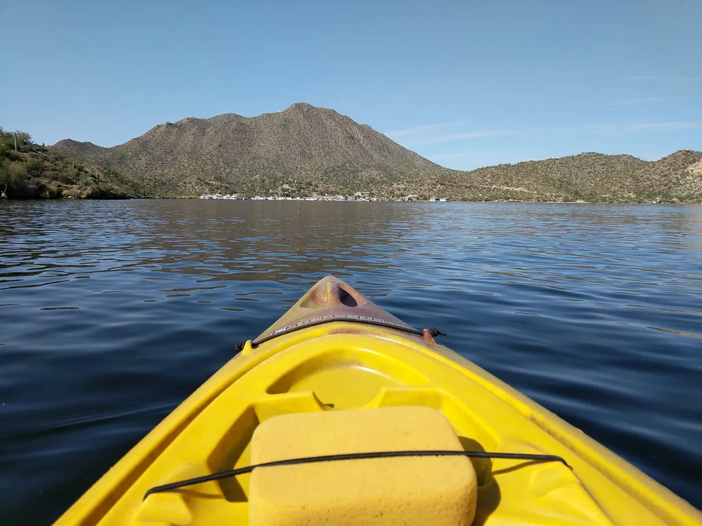
Reservoir · Tonto National Forest · AZ
Shoreline: 22 mi · Oct – May
$120 guided kayak tour, per person (4+)
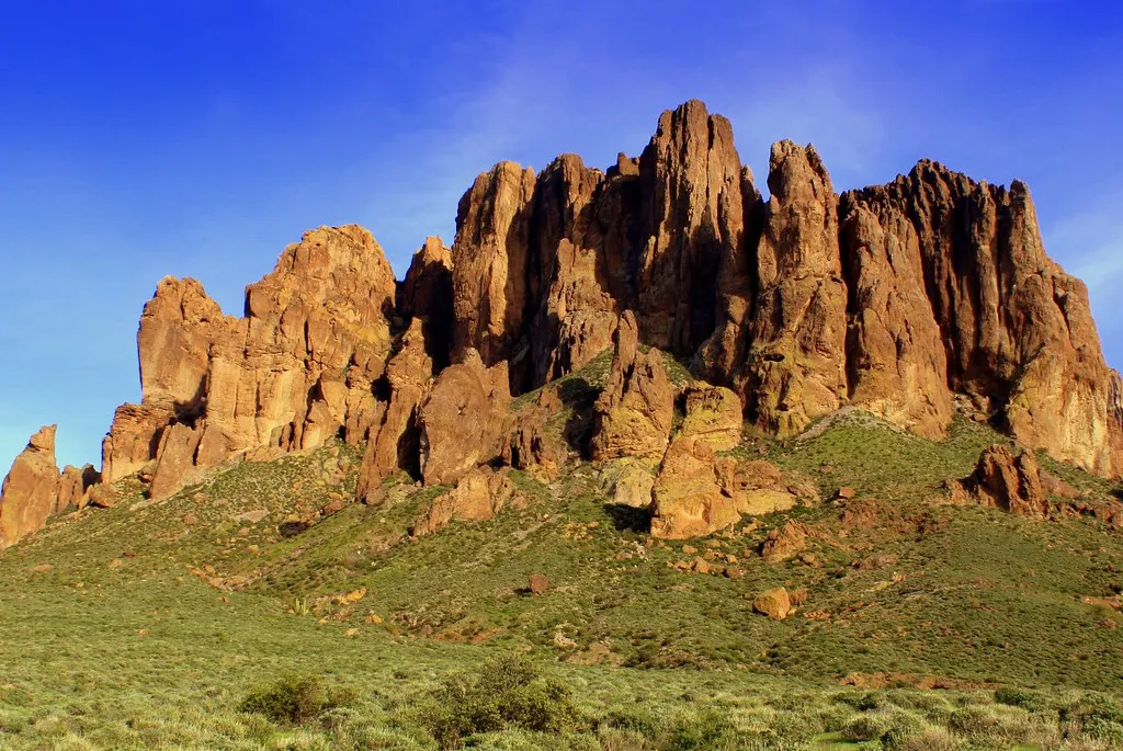
State park · Superstition Mountains · AZ
Sites: 135 (68 with water and electric) · Oct – Apr
$25 site/night
Pickleball center · Phoenix East Valley · AZ
Courts: 15 indoor, air-conditioned · Year-round
$15 open play session