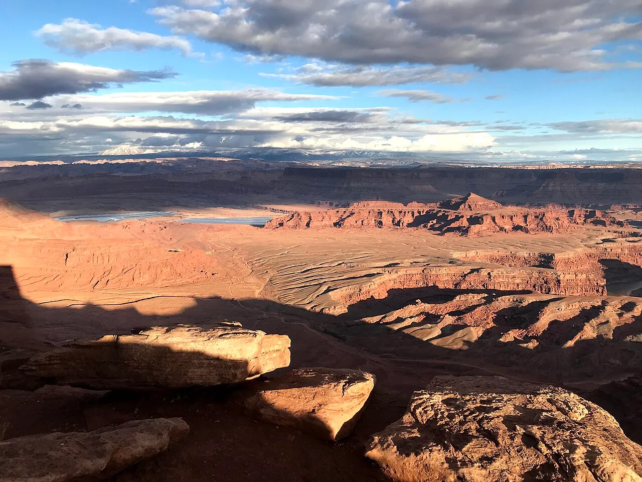
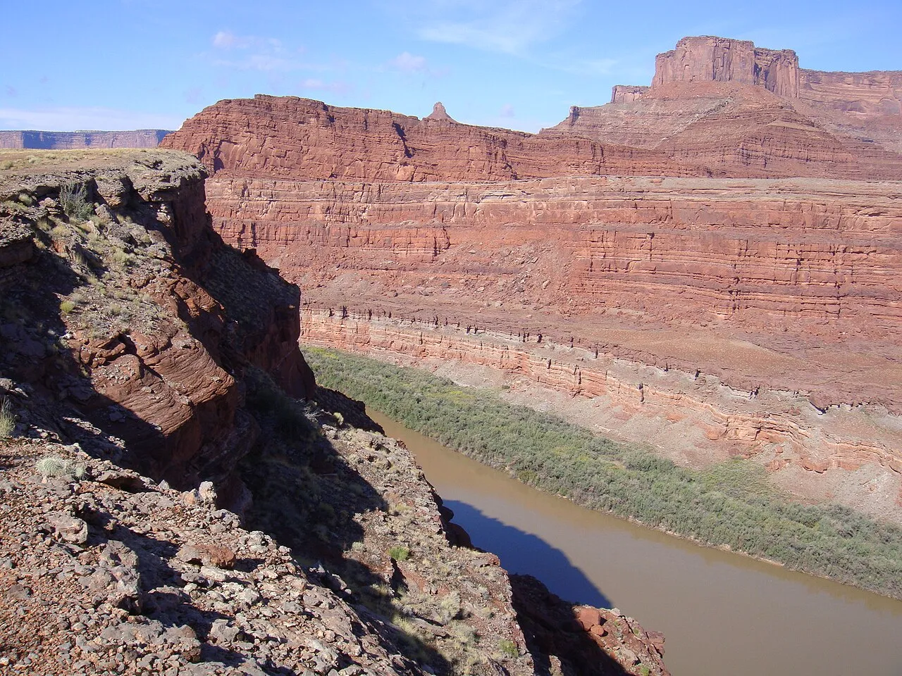
Dead Horse Point State Park campgrounds and yurts
State park · Moab · UT
Sites: 52 in 2 campgrounds (41 electric, 11 hike-in tent) · Year-round
$40 site/night
Spring and fall are ideal. Summer middays can top 100°F, so ride at dawn; ice can linger on Slickrock from late December through February.
Sand Flats Recreation Area pass for Slickrock, Porcupine Rim and the Raptor Route (Grand County, 2026); $5 if you ride in. Federal passes aren’t accepted there.
Slickrock, sandstone and the Whole Enchilada.
The desert town that made mountain biking famous. Ride the grippy sandstone of the Slickrock loop, shuttle the Whole Enchilada from the La Sals down to the Colorado River, or spin the gentler Moab Brands and Mag 7 systems with views toward Arches. Spring and fall are the seasons; it suits confident riders, though there are easier systems for newer ones.
Loading the live forecast for Moab…
Full-service shop in town with mountain bike rentals and repairs.
Mountain bike and e-bike rentals, with group discounts.
Guided day and multi-day tours, including e-bike and beginner-friendly trips.
Shuttles to the top of the Whole Enchilada and other point-to-point rides.
Supported multi-day mountain bike tours, including Moab-area routes.
“Usually” means the date follows past years. Confirm before you go.
Demo-bike festival: ride the new models on local trails, with shuttles, catered lunches and evening socials.
Riverside lodge on the Colorado River, up scenic Highway 128.
Downtown hotel a short walk from Main Street restaurants and bike shops.
Bungalows and townhouses on Moab’s first ranch, at the north end of town near Arches.
Delicate Arch and more than 2,000 sandstone arches, just north of town. Check the park site for timed-entry rules.
Big canyon overlooks plus the easy-to-moderate Intrepid trail system, a good family ride.
Mesa-top overlooks above the Green and Colorado rivers.
No traveler reviews yet. Be the first.
Ken Lund (CC BY-SA 2.0) · TRAILSOURCE.COM (CC BY 2.0) · Ken Lund (CC BY-SA 2.0).
Within about 40 miles: other things to do, places to camp and the winter side.
State park · Moab · UT
Sites: 52 in 2 campgrounds (41 electric, 11 hike-in tent) · Year-round
$40 site/night
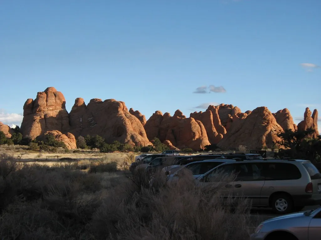
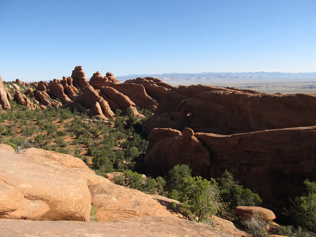
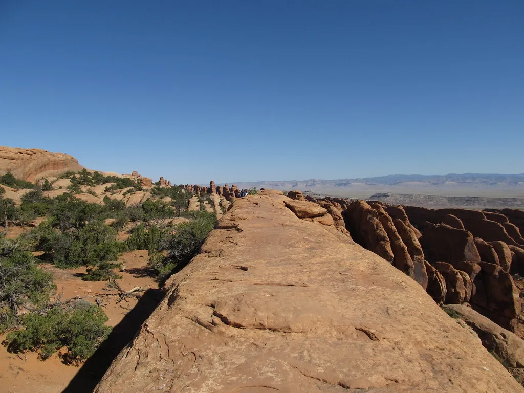
National park · Moab · UT
Sites: 51, including 2 group sites · Year-round
$25 site/night
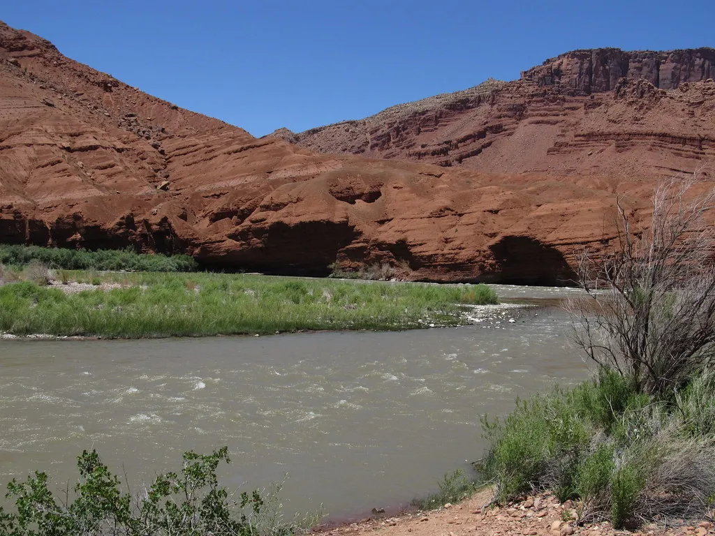
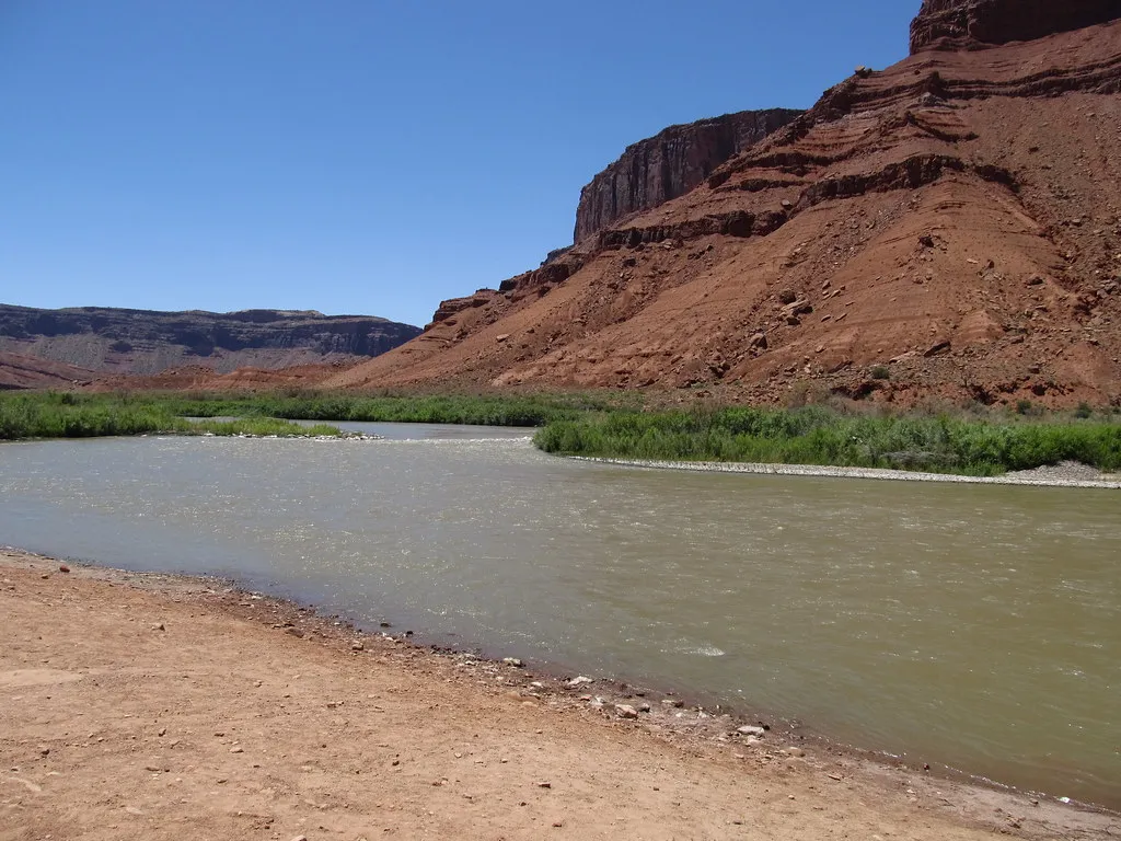
River · Moab · UT
Classic run: Hittle Bottom to Take-Out Beach, about 14 mi · Mar – Oct
$94 half-day raft trip