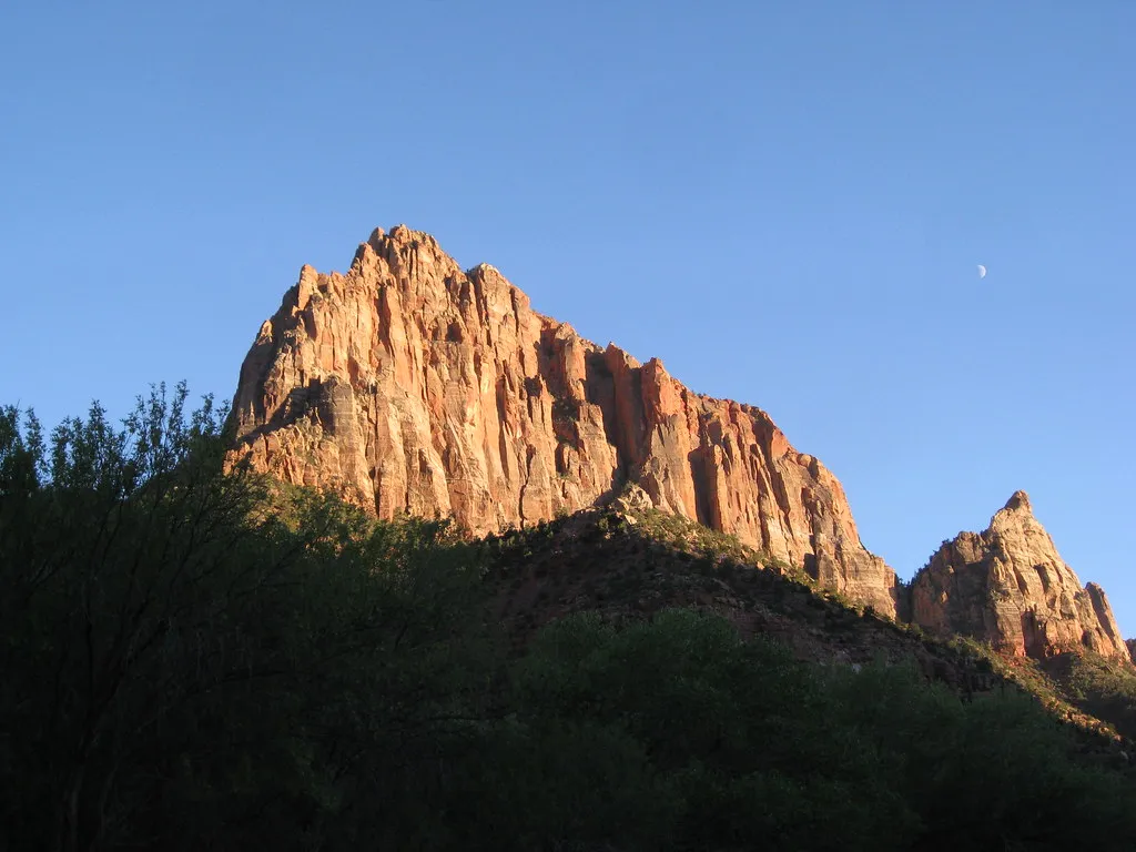
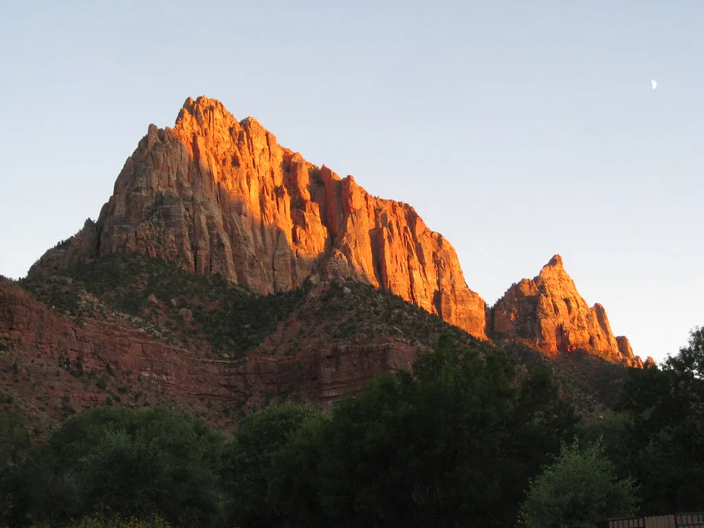
Watchman Campground, Zion National Park
National park · Zion Canyon · UT
Sites: 184, incl. 6 group sites · Year-round
$35 site/night
Spring and fall are prime. Summer days get hot, so ride early.
BLM trail system; no fee listed on the BLM page (2026).
Slickrock mesa riding with Zion on the skyline.
A mesa-top network of slickrock ledges and singletrack at 5,200 feet, with Zion’s sandstone towers rising to the north and big views off the rims. Below the mesa, Goosebumps rides like a roller coaster with easier side options, and the wider Greater Zion area adds more than 300 miles of trail. Best for intermediate and stronger riders; you can ride here all year.
Loading the live forecast for Gooseberry Mesa and Hurricane…
Hurricane bike shop with demo and rental bikes, trail and enduro models.
Shops in Hurricane and St. George with southern Utah rentals.
Bike rentals and tours based in Hurricane.
“Usually” means the date follows past years. Confirm before you go.
The big-mountain freeride contest on the cliffs near Virgin, a short drive from Hurricane.
Lodge next to the Zion pedestrian entrance in Springdale.
RV resort with rustic cabins on the Virgin River, between Hurricane and Zion.
Riverside hotel in Springdale at the Zion entrance.
The Narrows, Angels Landing and canyon shuttles, a short drive east.
Red-rock reservoir for swimming and paddling on a hot afternoon.
No traveler reviews yet. Be the first.
mypubliclands (CC BY 2.0) · mypubliclands (CC BY 2.0) · mypubliclands (CC BY 2.0).
Within about 40 miles: other things to do, places to camp and the winter side.
National park · Zion Canyon · UT
Sites: 184, incl. 6 group sites · Year-round
$35 site/night
Public courts · Greater Zion · UT
Courts: 33 outdoor · Year-round
Free open play
Resort courts · Greater Zion · UT
Courts: 21 outdoor, with 8 more planned · Year-round
Free open play (resort guests)