


Truckee River Regional Park pickleball
Public courts · North Lake Tahoe · CA
Courts: 12 (6 at the park, 4 indoor, 2 at Donner Lake) · May – Oct
$10 indoor drop-in
Shuttles started May 8 in 2026, with snow lingering up high early on. Summer days in town reach the 80s; check with the shuttle companies for fall schedules.
Downieville Outfitters, 2026: $40 per rider to Packer Saddle, $25 for another lap the same day.
Shuttle to Packer Saddle, ride 15 miles to town.
A tiny Gold Rush town where the Downie and North Yuba rivers meet, home to one of the West’s best-known descents. Shuttle vans haul riders to Packer Saddle at 7,100 ft for the Downieville Downhill, about 15 miles of fast, rocky singletrack back to town at 2,800 ft. It suits strong intermediate and advanced riders who like long, technical days that end with a river swim.
Loading the live forecast for Downieville…
The longest-running shuttle service in town, plus mountain bike and e-bike rentals and Sabrina’s café and tap room. Book by phone or email.
Weekend shuttles to Packer Saddle, booked online. E-bikes welcome.
Guided mountain bike tours with pickup, including Downieville days.
Nonprofit that builds and maintains the local trails and runs the Downieville Classic.
“Usually” means the date follows past years. Confirm before you go.
Cross-country race to the Sierra Crest and back, a downhill race on the 15-mile course, a river jump and a town festival. It sells out, so register early.
Cabins with kitchens, fireplaces and decks over the North Yuba River, plus lodge rooms.
Family-run rooms and cottages on the North Yuba, some with full kitchens, plus a pool.
Cozy riverfront inn in the historic downtown.
Riverfront beer garden and music spot with sausages and craft beer, open April to October.
A steep 5.2-mile round-trip hike, finishing on stairs, to a lookout above 8,500 ft.
Boulder-lined pools in the North Yuba, in town and at the campgrounds along Highway 49.
No traveler reviews yet. Be the first.
Frank Schulenburg (CC BY-SA 4.0) · Frank Schulenburg (CC BY-SA 4.0) · Frank Schulenburg (CC BY-SA 4.0).
Within about 40 miles: other things to do, places to camp and the winter side.
Public courts · North Lake Tahoe · CA
Courts: 12 (6 at the park, 4 indoor, 2 at Donner Lake) · May – Oct
$10 indoor drop-in
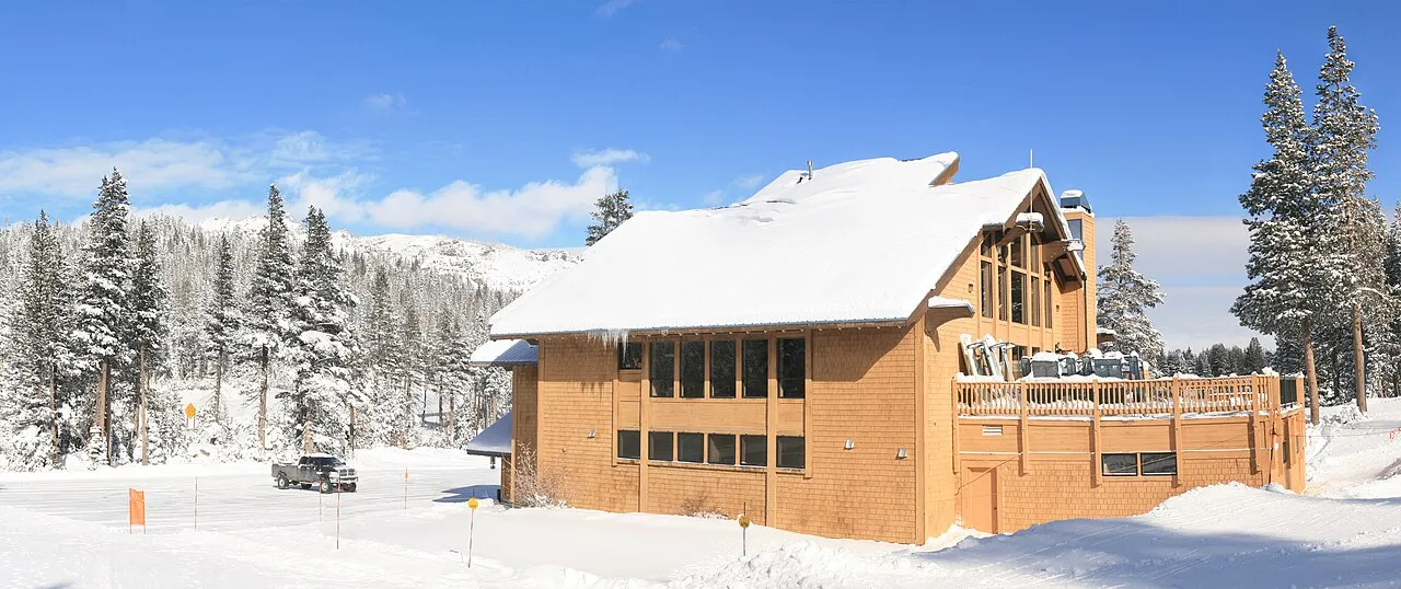
Donner Summit · CA
500 ft vertical · 41 trails · 400″ snow/yr
Lift from $144
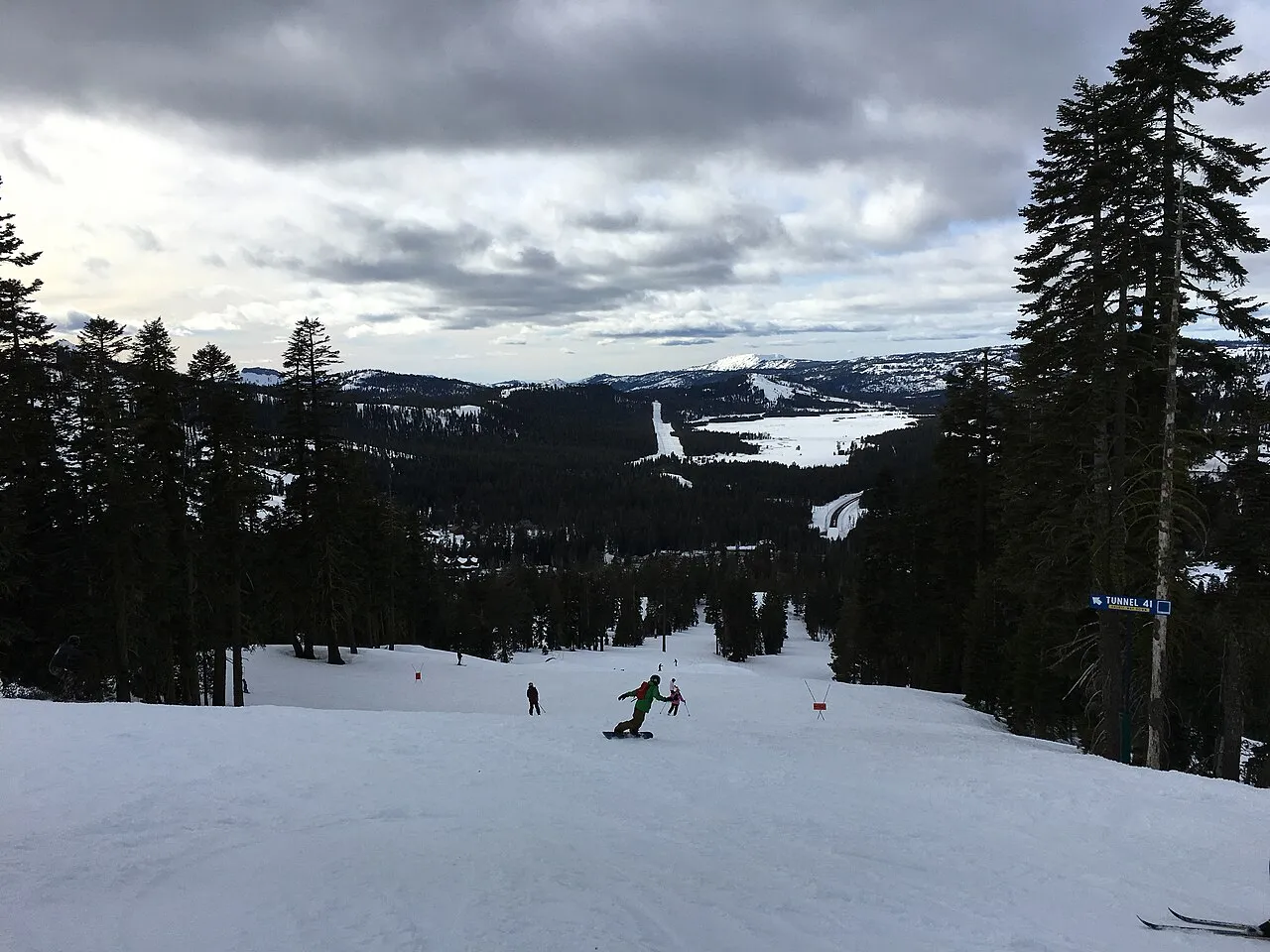
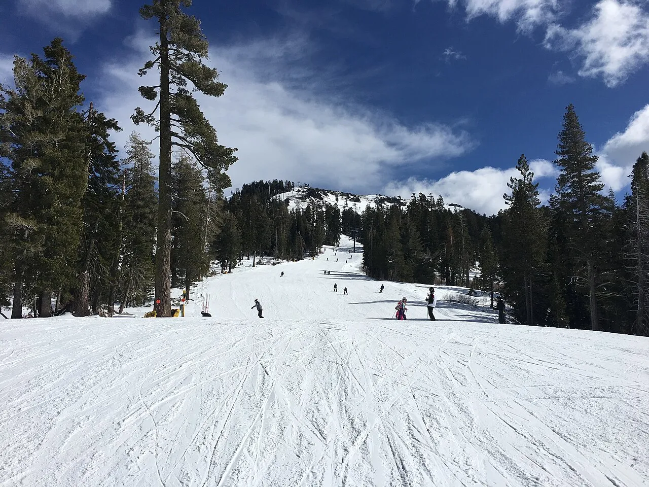
Donner Summit · CA
1,500 ft vertical · 105 trails · 500″ snow/yr
Lift from $89MC